
Find where any photo was taken — and prove it.
Evidence, not guesses. Pic2Nav reads metadata, signage, and scene context, routes it through retrieval and validation, and returns a location it can defend — or tells you, plainly, when it can’t.
From photo to address
See it resolve real places.
Storefronts, streets, and landmarks — each photo returns a name, a street address, a confidence score, and the evidence path that got there.

Venchi
Broadwick St, Soho, London W1
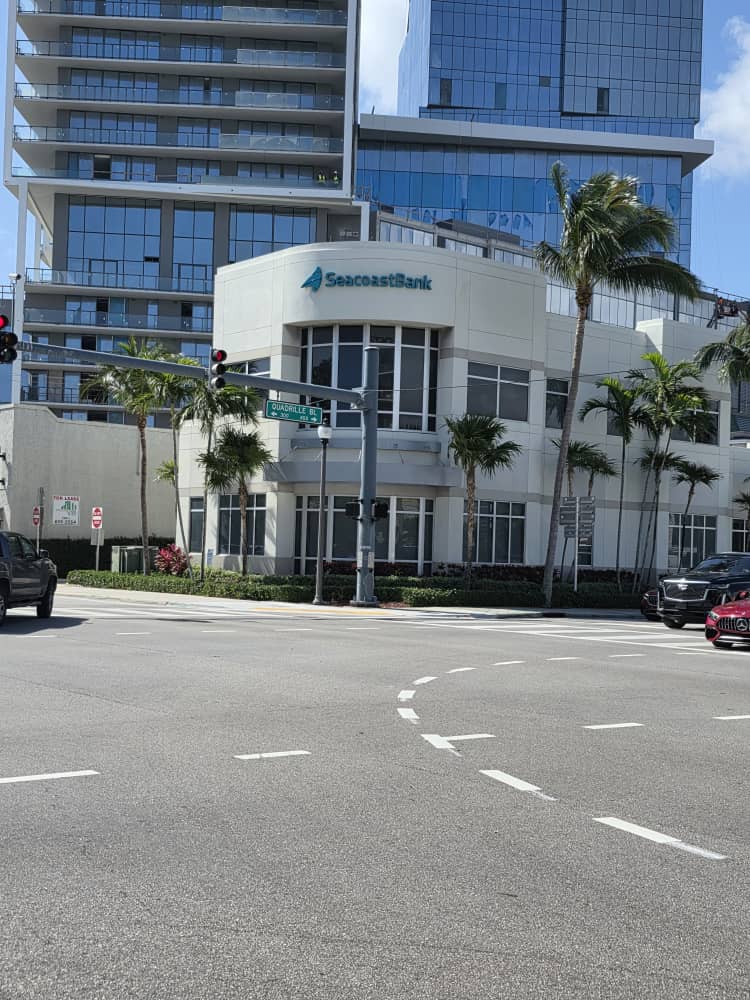
Seacoast Bank
Quadrille Blvd, West Palm Beach, FL

More London Riverside
Tooley St, London SE1
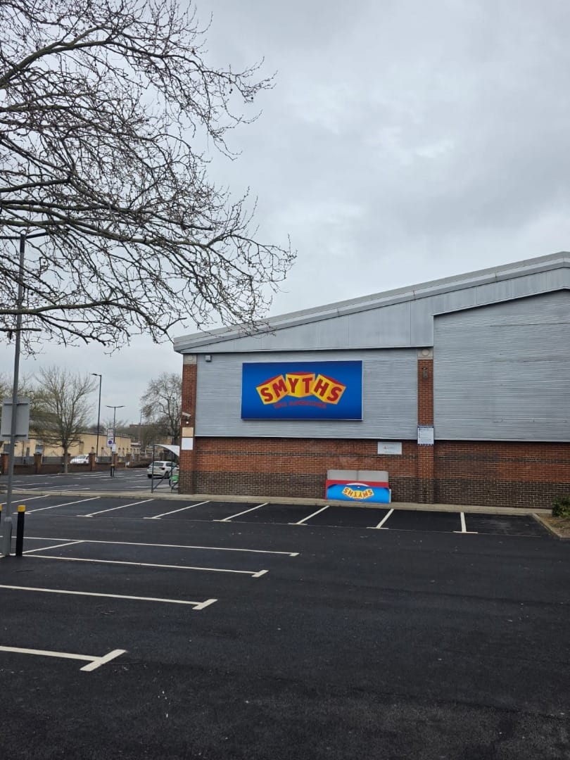
Smyths Toys
Out-of-town retail park, UK
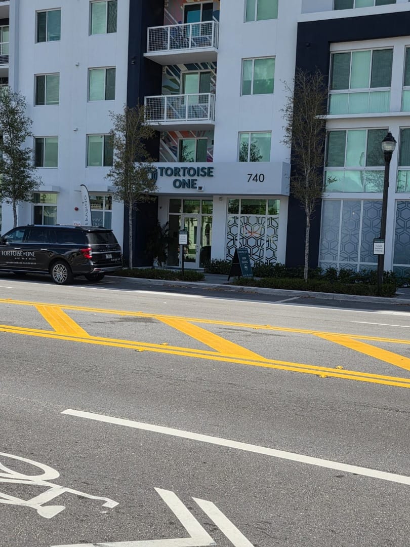
Tortoise One
740 Evernia St, West Palm Beach, FL
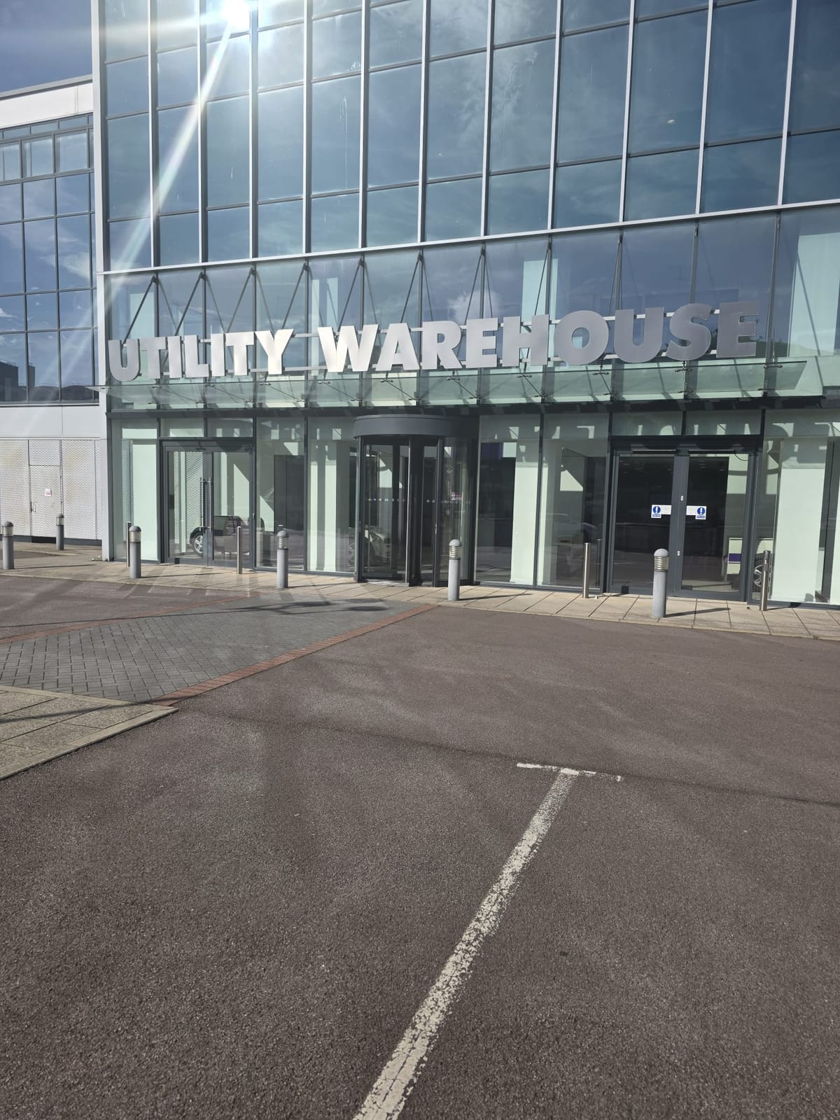
Utility Warehouse
The Hyde, London NW9
The evidence trail
Every result shows its work.
No black box. Each location comes with the exact lanes that fired — what the metadata held, what the signs read, what matched, and whether it passed validation — plus a calibrated confidence score you can actually trust.
Run your ownVenchi
Broadwick St, Soho, London W1
51.513700, -0.137200
Evidence
- EXIFNo embedded GPS
- OCRRead "Broadwick Street W1"
- Retrieval3 nearby candidates
- ValidationGeofence check passed
How it works
A routed pipeline, not a single guess.
Every image runs through three stages: cheap and direct evidence first, heavier models only when needed, and a validation gate before anything is returned.
Read the signals
EXIF coordinates, OCR'd signs and addresses, phone numbers, and landmark cues are read from the image first — the cheapest, most direct evidence.
Route the evidence
Vector retrieval and scene reasoning are brought in only when the direct signals are missing or noisy — not on every request.
Validate, then answer
Candidates pass geofence and confidence checks. Low-confidence results ask for review instead of returning a confident guess.
Run it yourself
Drop in a photo and watch the pipeline resolve it.
Upload an image or capture live to see EXIF recovery, OCR, retrieval, and validation resolve a location — confidence and all.
Stay in the loop
Updates on benchmarks & releases.
New datasets, evaluation results, and model releases — no noise.